
European Union grants US request to restrict satellite images of Iran War region
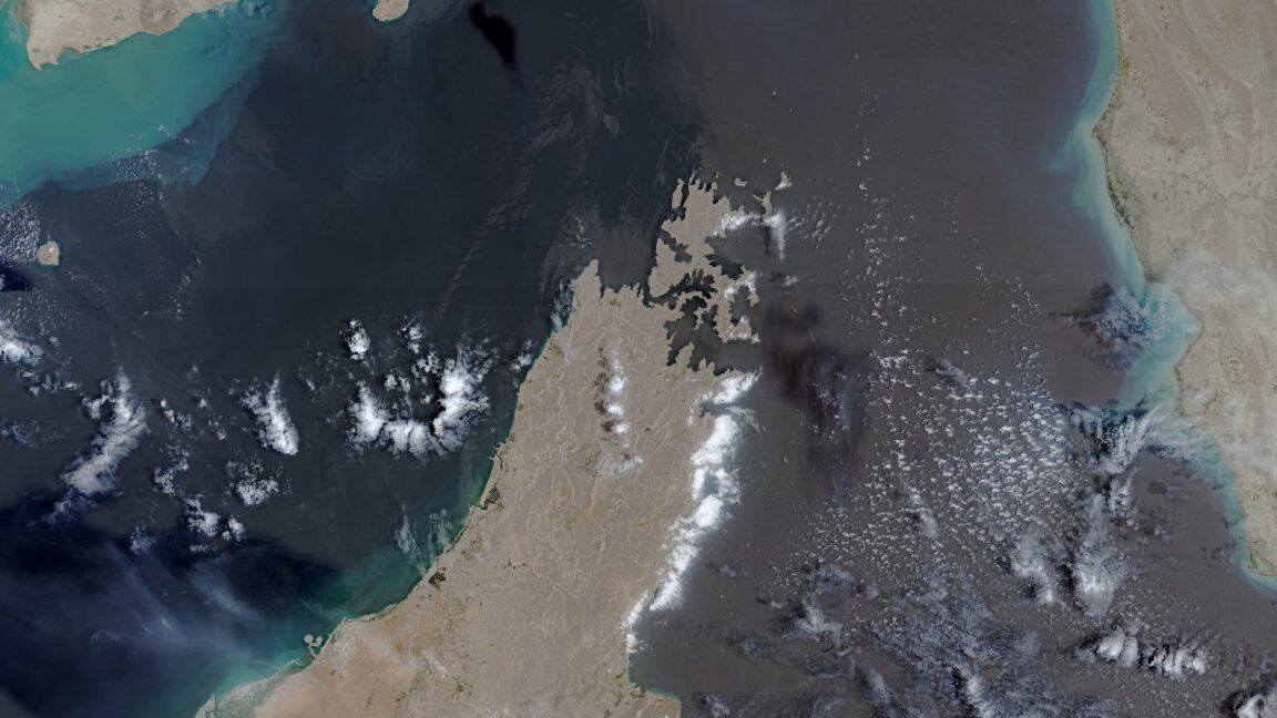
The European Union has begun delaying the release of satellite images showing shipping lanes near the Strait of Hormuz by 24 hours. The move comes in response to an earlier US government request and coincides with the Trump administration ramping up the war with Iran once again.
Reported by 1 outlet — Ars Technica. See all sources ↓
The European Union has begun delaying the release of satellite images showing shipping lanes near the Strait of Hormuz by 24 hours. The move comes in response to an earlier US government request and coincides with the Trump administration ramping up the war with Iran once again. The unusual change in the free and open data policy for Europe’s Copernicus Earth observation program was revealed by Space News, which reviewed a copy of the decision made by the Council of the EU on July 13. The ordered delay applies to images taken by Sentinel-1 and Sentinel-2 satellites and covers the Gulf of Oman region that includes shipping lanes leading to and from the contested Strait of Hormuz.
Read the full report at Ars Technica ↗
Why it matters
A world story we're tracking; its significance and source trust firm up as more outlets confirm it.
- What's the story?
- The European Union has begun delaying the release of satellite images showing shipping lanes near the Strait of Hormuz by 24 hours. The move comes in response to an earlier US government request and coincides with the Trump administration ramping up the war with Iran once again.
- How widely is it covered?
- 1 outlet, average source rating 7.0/10.
- When was it last updated?
- 7m ago.
How outlets are framing the same story
Here's how each outlet is covering the story — compare their headlines and timing at a glance.
- Coverage card1 outlet1CoverageScouting report
European Union grants US request to restrict satellite images of Iran War region
Sources1TypeCoverageArs Technica